This natural park is bordered by a mountain range which runs parallel to the coastline for 15 km. It is an almost undisturbed area and it includes cliffs, beaches and coves. The highlight is the Torre Badum cliff, one of the highest in the Valencian Community.
With no major elevations, the highest peak is 572 metres and is named Campanilles; the proximity to the sea does not allow for large ravines, the longest being the Barranco de Irta of 6 km.
It has rich and varied autochthonous plant life, comprising a series of typically Mediterranean flora of important ecological and forest plant life.
The Mediterranean woodland is the dominant plant life and we can find interesting plants close to the sea, as well as in the ravines, which run towards the inland area of the mountains. Among others, we can find fennel, carob trees, palm trees, rosemary, heather, thorny broom, thyme, iron wart, lavender, oleander, arbutus or strawberry trees, berries, couch grass, mint, cistus, juniper, camomile, etc…
The flora closest to the sea is characterised by beds of sea lavender and sea fennel.
With regards to the fauna, it is worth noting the presence of seabirds and the most common species of mammals which are normally harder to find.
There are various hiking routes to follow throughout the large natural area of the Sierra de Irta mountain range.
Sierra de Irta Natural Park Interpretation Centre
Avda. Estación s/n, Km 1.5
Tel: 964 467 596 - 679 196 398
www.parquesnaturales.gva.es
Location
Located North East of Castellón, in the Baix Maestrat county.
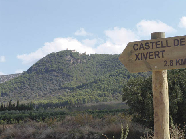
The Sierra de Irta Natural Park ranges over parts of the municipal areas of Peñíscola, Santa Magdalena de Pulpis and Alcalà de Xivert-Alcossebre


