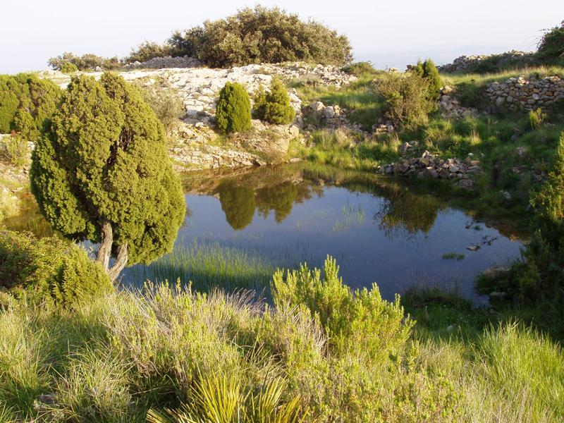
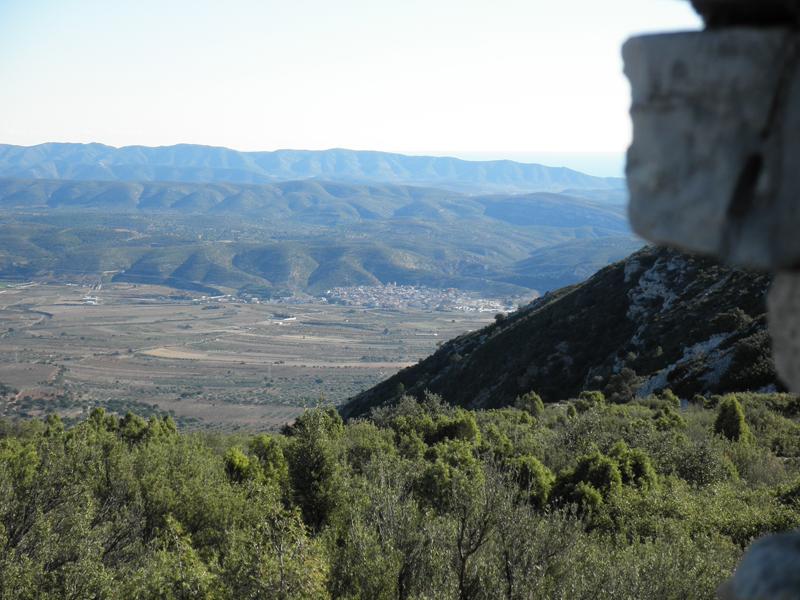
To the west of the historic centre of Les Coves you can see the highest mountain in the area. Along the Tossal Gros and the surrounding area you can see fine examples of the mountain economy.
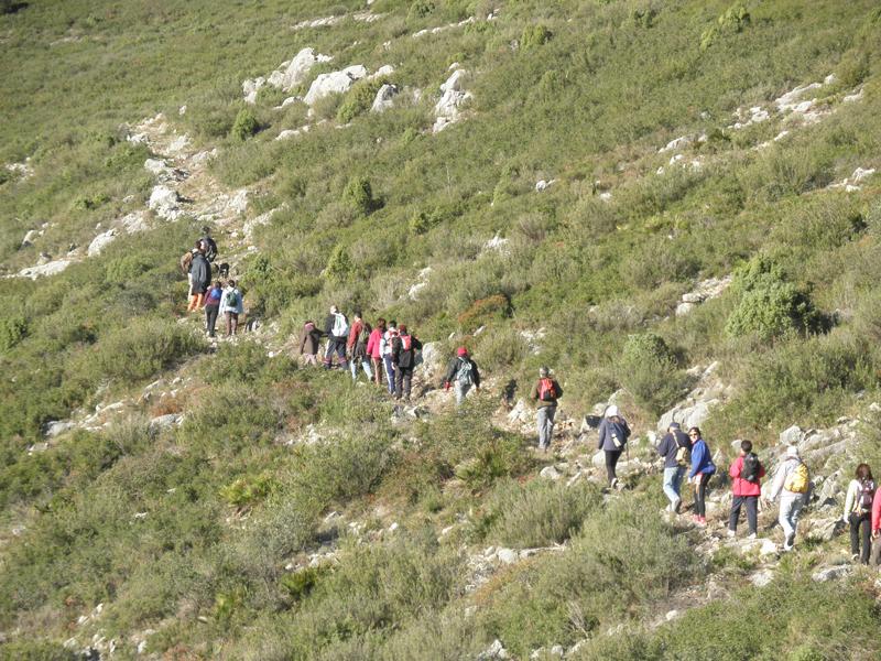
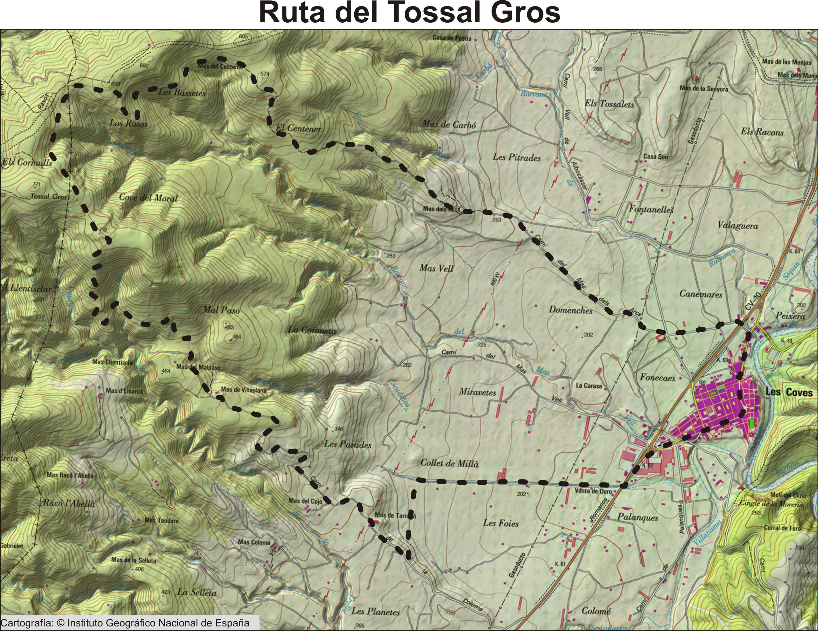
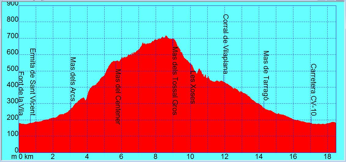
This is a route with an easy gradients and fine views. Our starting point is the Village Fountain, the Font de la Vila, heading towards the Shrine of Sant Vincent as far as the Mas dels Arcs. From there we take the mountain trail that leads us to the highest point of the municipality of Les Coves, the Tossal Gros. We descend past the masías, or country houses of Corral de Villaplana and Tarragó to continue along a flat path to the village.
In the attached images you can see the map, the altitude profiles and distances and some photos.
We recommend you print the map as the route is only signposted along the mountain trail section.
The route is also available in “gpx” format for GPS tracking. You can find it at the Wikiloc link below.
Tossal Gross Route.- Wikiloc link to download track in gpx format http://es.wikiloc.com/wikiloc/view.do?id=4502203


